Why Hungary for Hiking
I moved to Budapest in 2019 for work and spent the first year entirely within the city. It was a colleague who first dragged me to the Bukk Mountains on a weekend trip, and that experience changed how I spent every subsequent weekend.
What surprised me most was the variety. Hungary has no Alps, but it has limestone plateaus, deep karst caves, volcanic hills, and river valleys with trails that run for days without crossing a major road. The Kekesteto summit tops out at 1,014 metres, which sounds modest until you realise the views from up there stretch across three countries on a clear day.
The trails in this country are well-marked with a colour-coded system that actually works. The National Blue Trail runs 1,168 kilometres across the entire country, and smaller local networks branch off from it in every direction. Once you learn the marking system, navigation becomes straightforward even without a GPS.
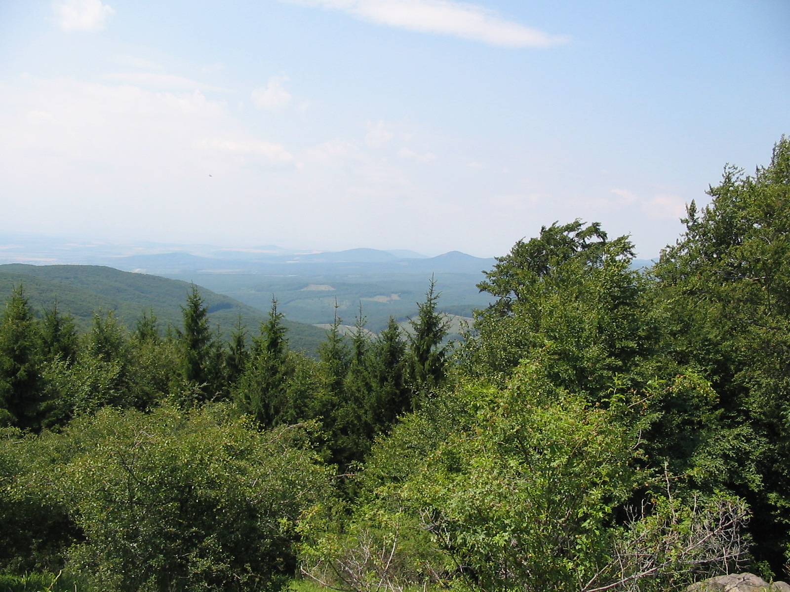 Image: Wikimedia Commons

